Thurs., 5/16/13 - Sligo to Ballygally, Northern Ireland
As we entered Northern Ireland by crossing the River Foyle there are no longer any checkpoints or barricades. We just drove across the river and there was not even a sign saying we had entered British run Northern Ireland.
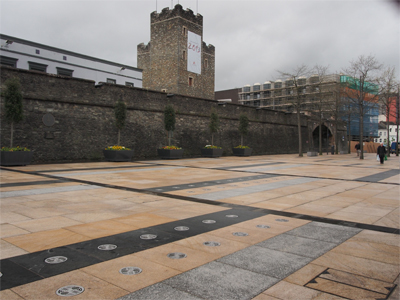
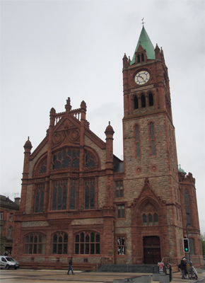
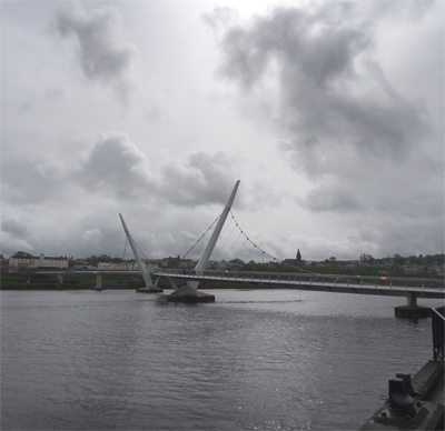
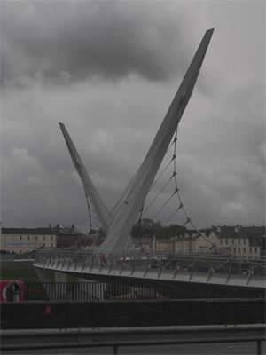
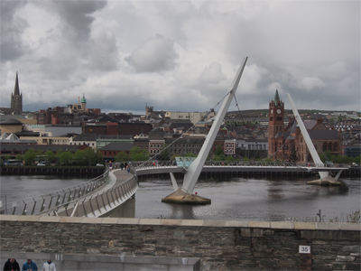
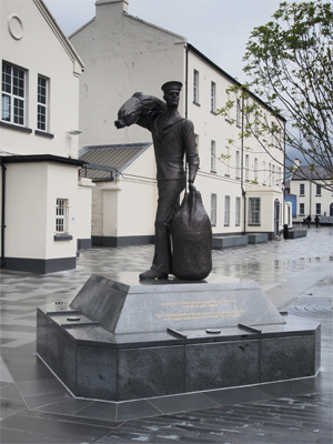
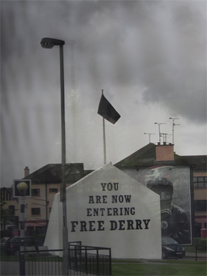
Our first stop was at Derry (or Londonderry). Derry still has its surrounding wall intact and the city has sprawled well beyond the wall. Derry and Belfast were the focal points for the nascent civil rights movements in Northern Ireland. The city has murals on the walls of buildings that depict scenes from the upheavals but there are also signs of the endeavor for peace like the beautiful pedestrian Peace Bridge connecting the Catholic “bog-side” of the river with the predominantly Protestant side. The bridge was dedicated in 2011. We walked across the bridge from the elaborate City Hall, which was once the Guild Hall just outside the 400 year-old city walls, to the abandoned British barracks across the River Foyle. On this side there is a new Unknown Sailors monument dedicated to all the men lost at sea in the Battle of the Atlantic.
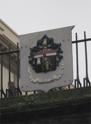
Derry Coat of Arms
|
Part of the old city wall |
City Hall
|
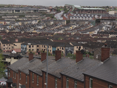
View of Derry from atop the city wall |
View of Derry from atop the city wall |
Peace Bridge
|
Peace Bridge
|
Peace Bridge framing City Hall and town |
Unknown Sailors monument
|
Remnant from the "troubles" |
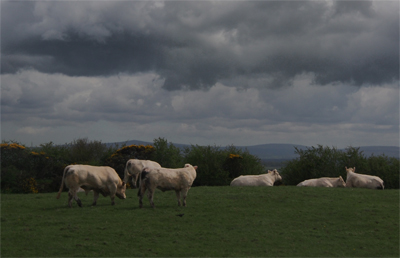
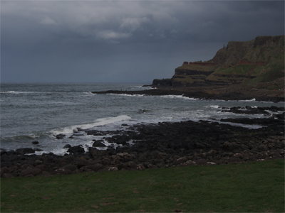
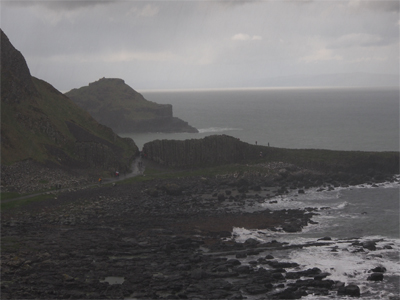
Our bus continued north along the Antrim Coast, one of the "Top Five Road Trips" worldwide. The countryside drops into the Atlantic Ocean with spectacular cliffs and green fields dotted with sheep and cattle.
|
|
Pastoral scene |
Antrim Coast
|
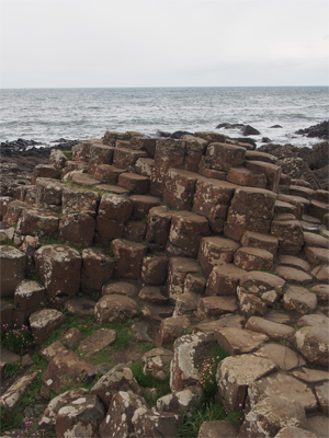
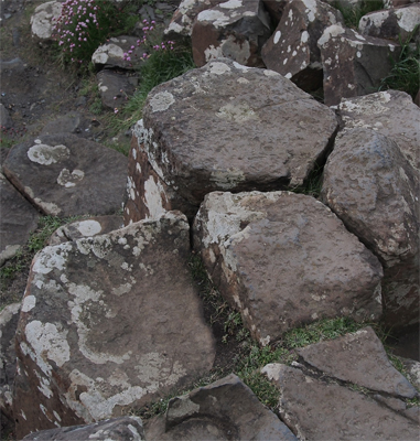
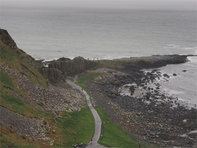
Hexagonal blocks of the Giant's Causeway
|
Hexagonal blocks of the Giant's Causeway |
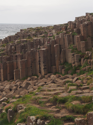
Hexagonal columns of the Giant's Causeway
|
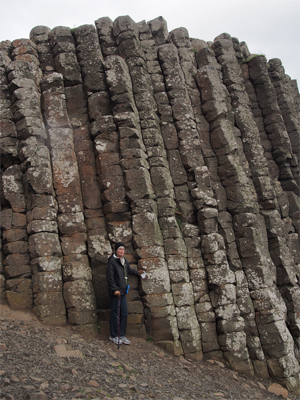
Gale providing perspective for the hexagonal columns of the Giant's Causeway |
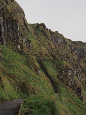
Looking back from above |
Steep trail
|
Looking back from above |
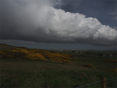
Scene at the top - beautiful cloud!
|
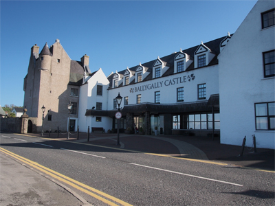
Our hotel
|
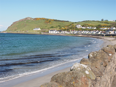
Coastline south of the hotel |
Fri., 5/17/13 - Ballygally to Belfast to Glasgow, Scotland
|
|
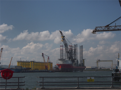
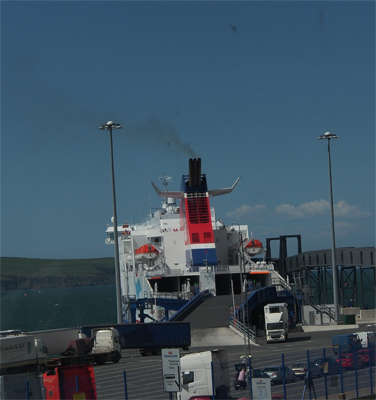
Ship in dry dock in Belfast
|
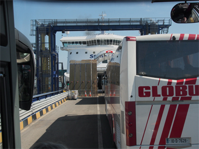
Boarding the ferry |
Scotland is one of the three countries that make up the United Kingdom of Great Britain and Northern Ireland. England and Wales are the other two. Scotland also is composed of about 1,000 islands. There are three geological areas in Scotland: Southern Uplands, Central Lowlands, and the Highlands and Islands (moving from south to north).
|
Looking back at the ferry on the Scotland side
|
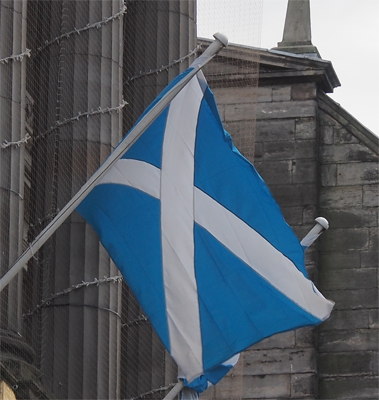
Flag of Scotland
|
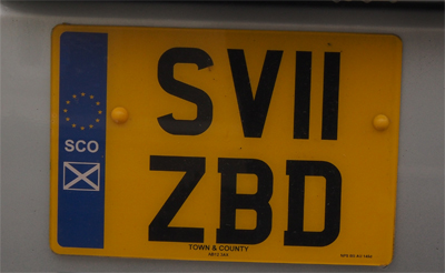
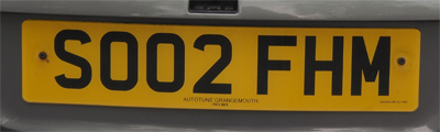
Scottish EU and older, non-EU license plates |
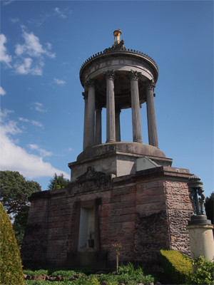
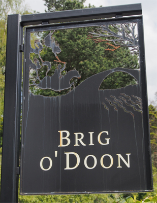
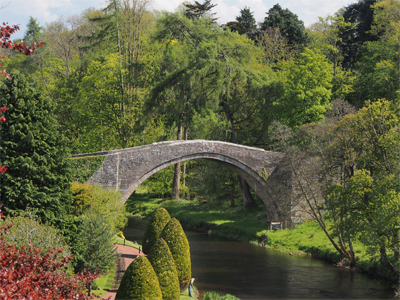
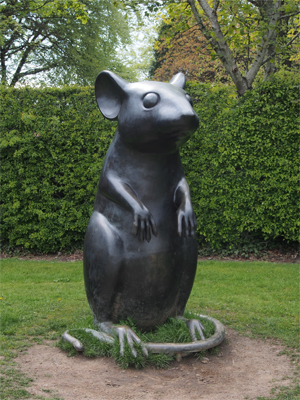
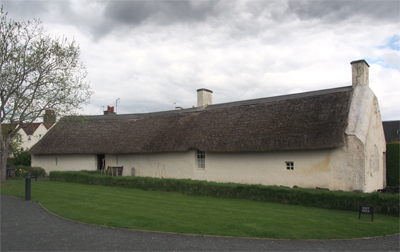
Our first stop in Scotland was at Alloway, the birthplace of Robert Burns. We visited the museum there and walked across the Brig o' Doon - the bridge over the River Doon. The bridge is the setting for the final verse of Burns' poem in which Tam O'Shanter escaped the witches by riding over this bridge but the horse's tail was cut off by the witches - as the poem goes. We walked up the Burns Monument and looked out over the landscape that might have inspired Burns. We looked at the statue of Tam O'Shanter in the pub setting. We walked down the "Poet's Path" with the weather vanes with scenes telling the tale of Tam O'Shanter and the statue of the mouse, commemorating the poem To a Mouse (The best-laid schemes o' mice an' men / Gang aft agley). The path ended at the thatch-roofed cottage with attached stable that Burns was born in and where he lived for seven years. Back at the museum we looked at memorabilia of Burns' life and writings.
|
|
Robert Burns Memorial
|
Sign for the bridge |
Brig o' Doon bridge |
Statue in honor of "To a Mouse"
|
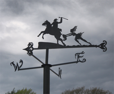
Tam O'Shanter's ride depicted on the Poet's Walk
|
Birthplace of Robert Burns |
Back on the bus Michael explained about the kilt. The tartan plaids were associated with the chief of each Scottish military group. All the men wore the same plaid for identification. What do men wear under the kilt? Irishmen wear drawers but the Scots wear nothing. Michael says the Scots would lift their kilts in the face of their enemy "to scare them off" - like mooning! The knee-high socks were worn to keep them from sunburn below the kilt.